
“Debar Mountain, a savage looking peak…”
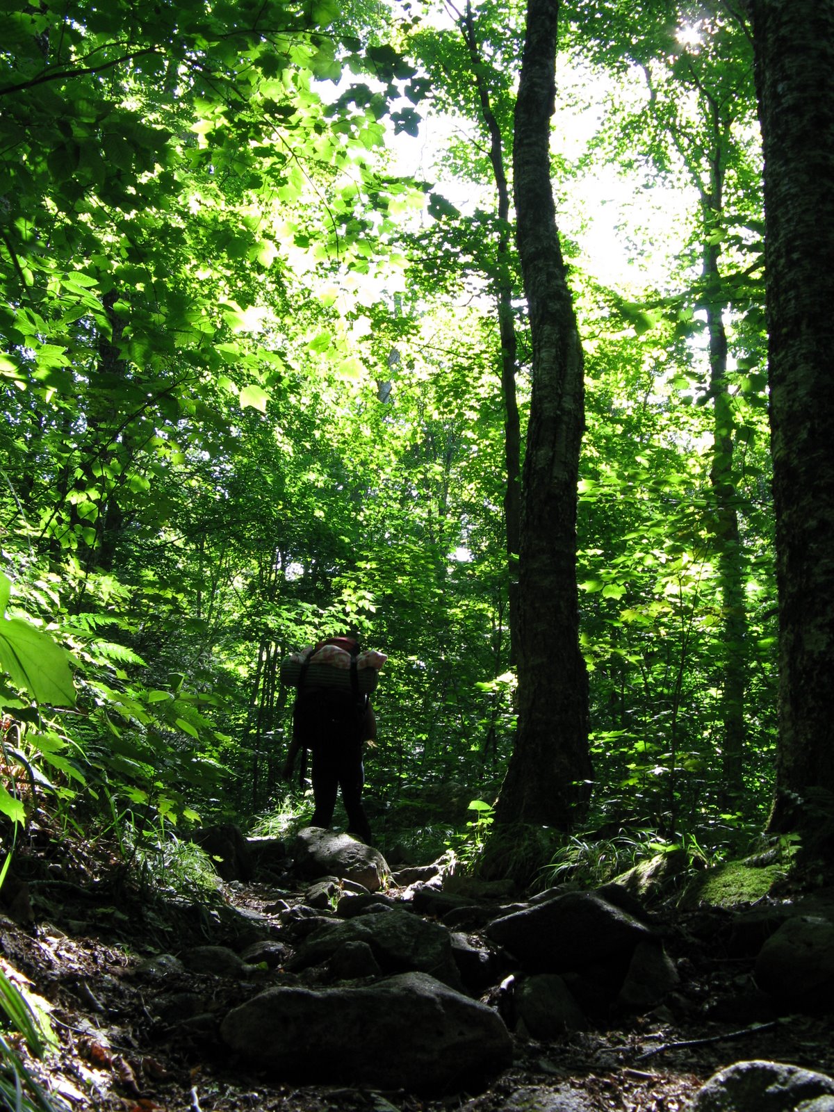
Eh, it’s really not that savage, rather nice actually. We had never done this climb and thought it would make an easy weekend overnight trip. I don’t really like to do the High Peaks during Summer because I have a slight allergy to people when I head into the woods. This one is off the beaten path and definitely sees less traffic. Probably, the day-use fee also deters folks as most of the people we saw were staying in the campground.
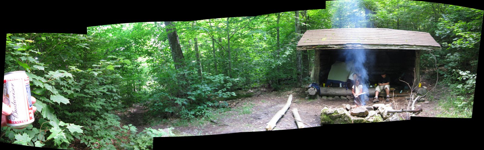
From the Meacham Lake Campground trailhead, it is 3.7 miles to the summit. Just before the really steep final ascent, there is a rather worn Lean-to where we spent the night.
Here is Verplanck Colvin’s account of his climb October 30, 1877:
Before daylight on the 30th, we had started for the summit of De Bar mountain, distant less than half a dozen miles through the forest, and by earnest marching reached the summit in two and a third hours. The rock beneath the peak contained grains of horn- blend, uncommon in the gneisses of the northern section of this region. The summit was peculiar in a steep cliff facing the west, over which the axemen soon commenced to fell the trees obstructing the view. Hanging for a moment on the verge, they would bend slowly over, to plunge with a sudden spring downward, and woe to any thing that should be caught by the splintered butt, as it flew upward with a sudden resistless spring before the plunge. This front was quickly cleared, and while the axemen worked lanes eastward and northward through the timber of the more level portion of the summit, the theodolite was placed, and the reconnaissance measurements commenced.
But telescope was needless to show the grand features of the scene below. Glittering lakes, set in a forest of emerald evergreen, or margined with tamaracks, still clad in the golden foliage of fall, shone far and near. Wild mountain masses rose in dark tumultuous billows eastward, where “Whiteface, capped with snow, gleamed in Alpine grandeur. Still further northward the flattened crest and clustering lower peaks of Lyon mountain (densely forest covered from foot to crown) stretched across the horizon, an obstacle to vision ; then the rocky front of Owl’s Head, in Bellmont, showed itself, and the brows of the hills above Malone. North-westward stretched the vast plains of Canada, and clearly defined between a breadth of dark blue water, like a great band from west to east, showed the St. Lawrence, the father of the northern waters.
Thrilled by this sight, the first glimpse of this great river which had ever been obtained from an eastern triangulation station, I turned the telescope of the theodolite toward the corner where it left the United States to pour its whole volume into Canada; and islands, villages, and cities showed themselves, tn another instant I had found a church spire near St. Regis, which was located by the United States Army Engineers of the Great Lakes, and using this as signal, I turned off the first angles, connecting by direct triangulation the surveys of the distant coast of the Atlantic with the great interior fresh water seas of the continent.
It was late when the measurements were finished and the instrument repacked, but while the signal men hurried with their work, I made the more important topographical sketches which the field of view at this time opened by the chopping permitted and at dark descended, resolving to make this a future primary station, and to have the whole summit so cleared next season that nothing might obstruct the view.
The night descent of De Bar was interesting from the fact that the present guides were novices at this kind of marching. Nevertheless, we got along admirably and reached Meacham lake before 9 P. M.
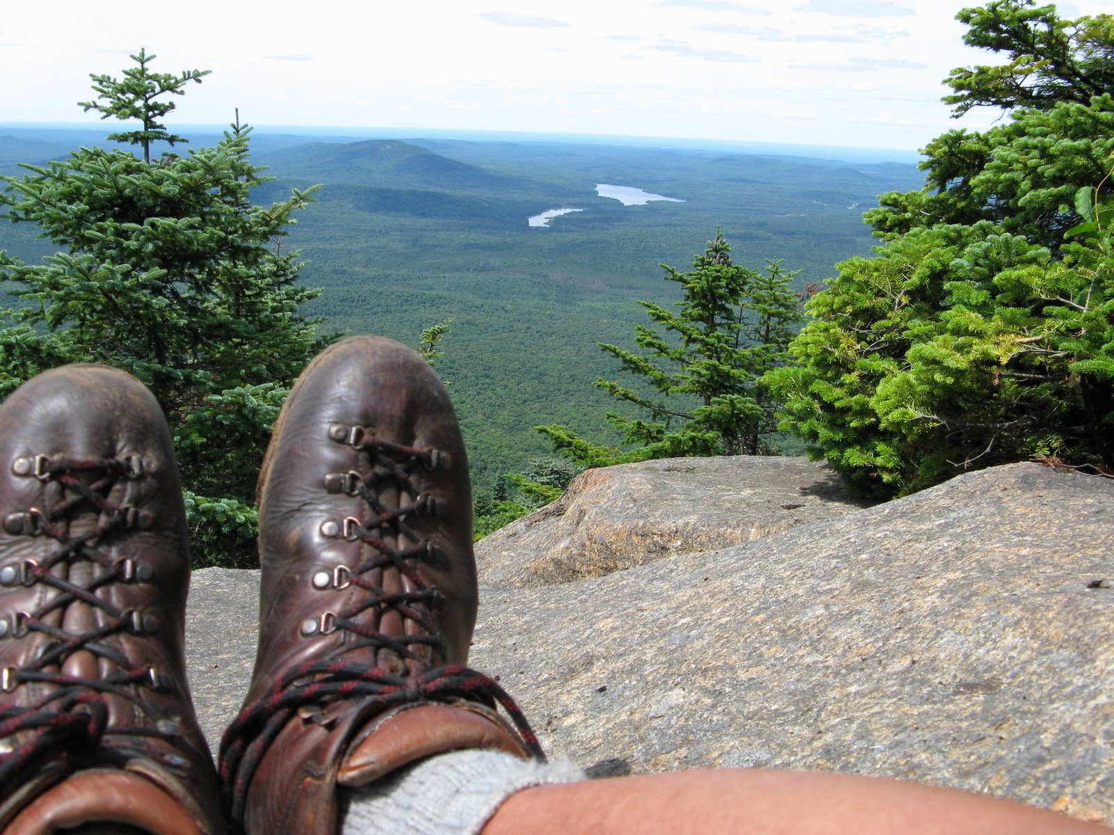
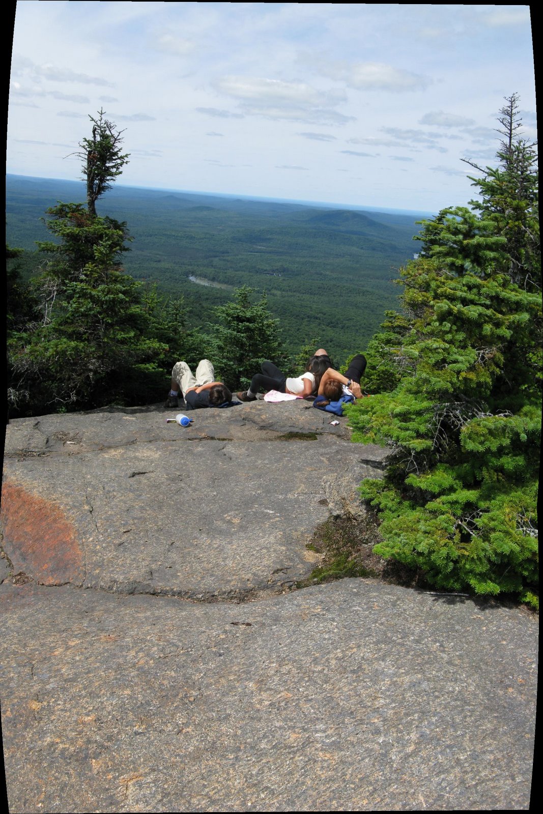
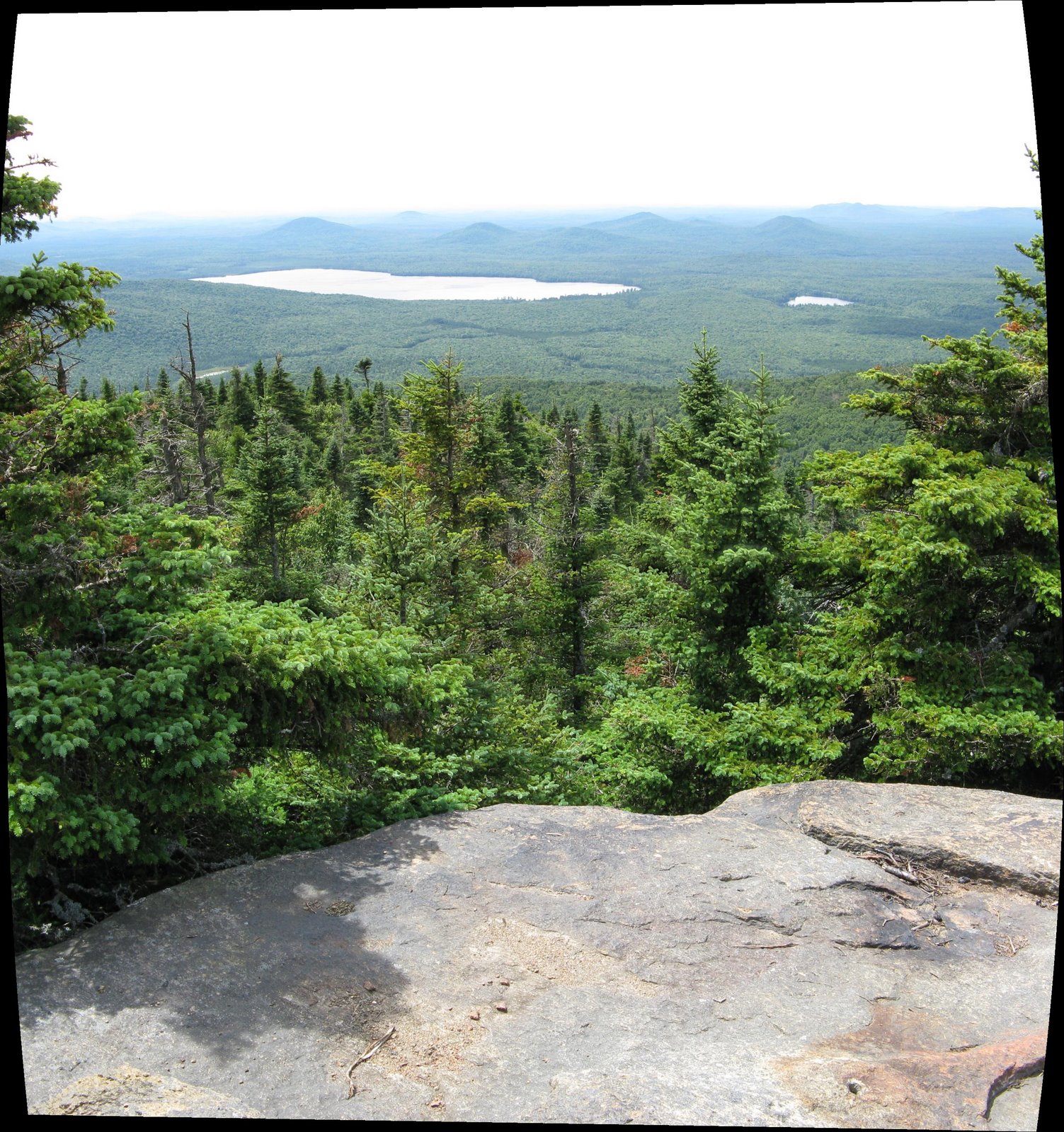
I like how they attained the peak and “commenced to fell trees obstructing the view”. Right now the site of the former firetower presents a great view Westward of Meacham Lake and the Deer River Flowage. We didn’t bother bushwacking for other views, which I now regret.
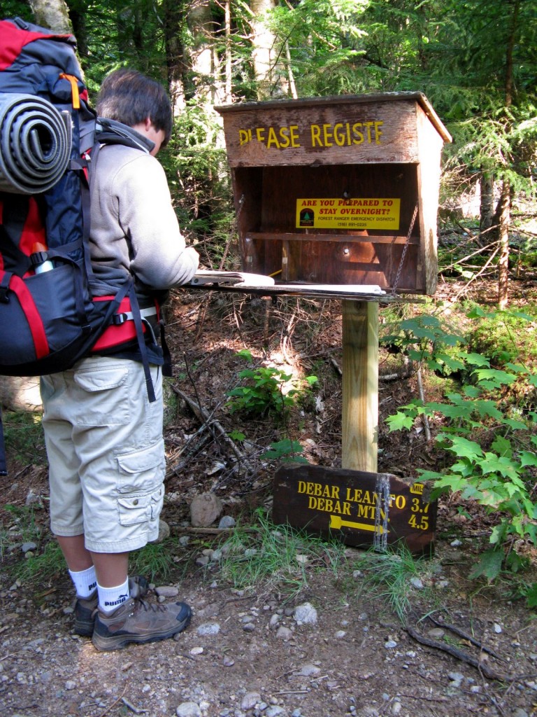
Trailhead Register 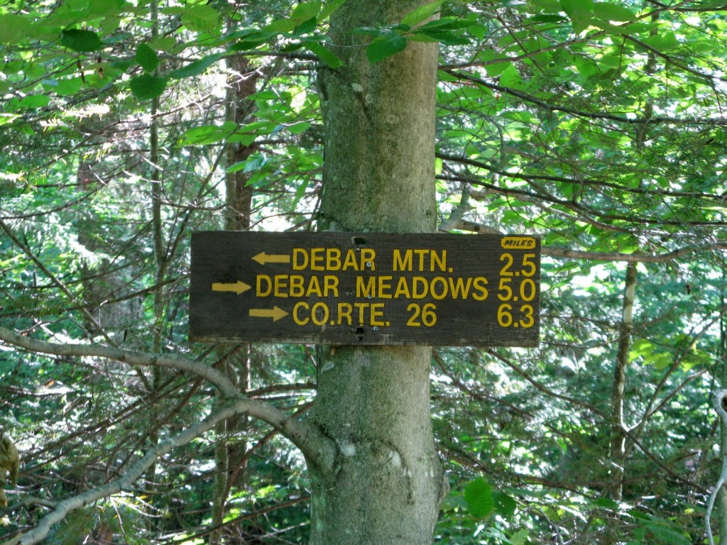
Debar Mtn. Junction 
Climbing 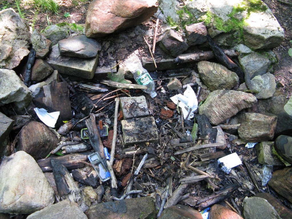
Water, Cheeze, and Crackers 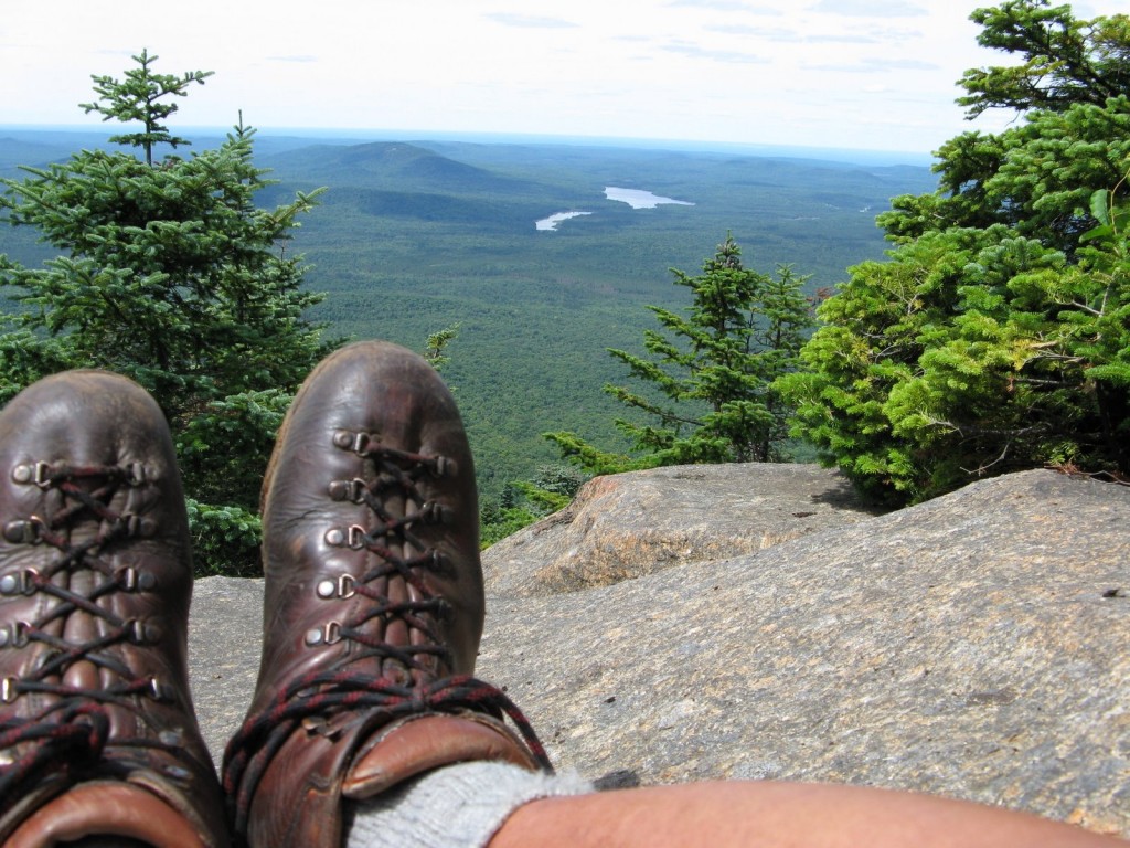
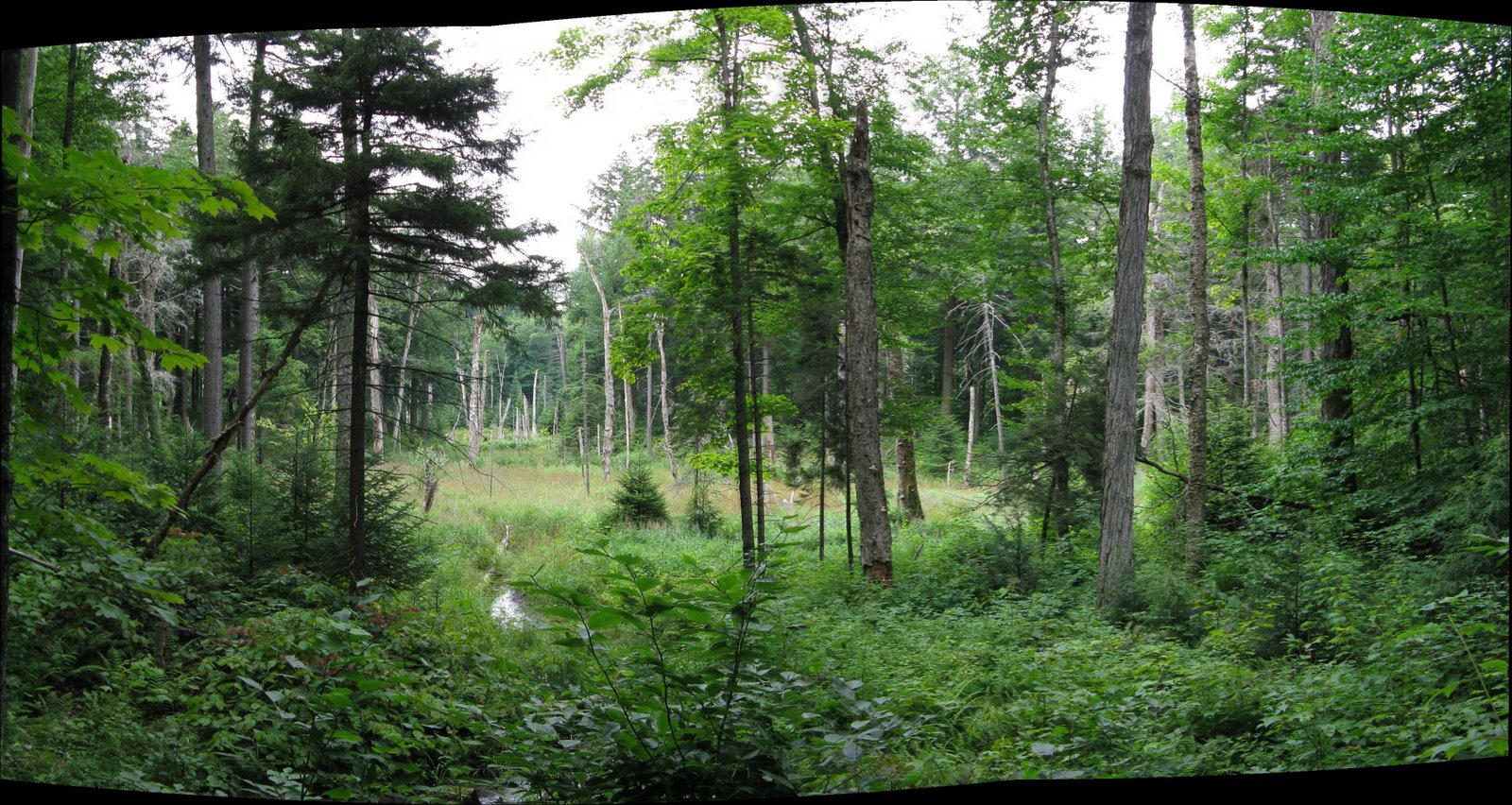
Dear River Flowage 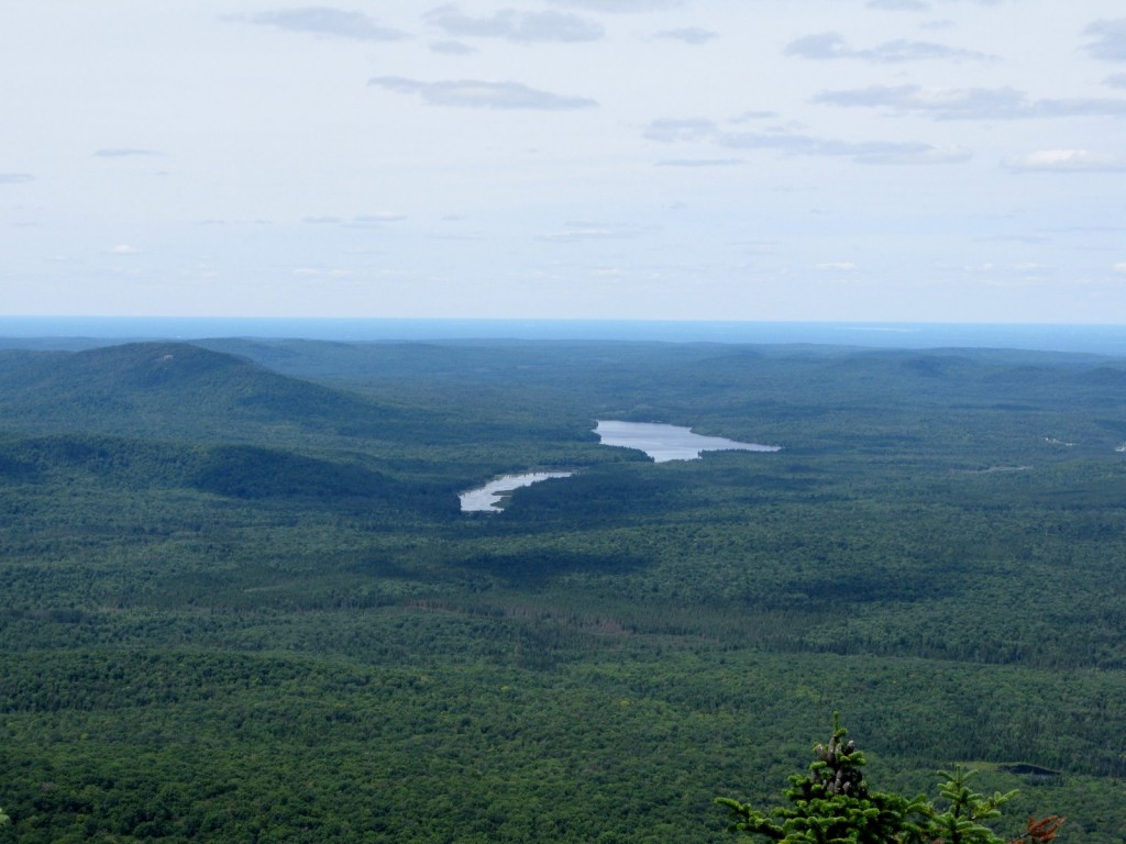
Deer River Flowage 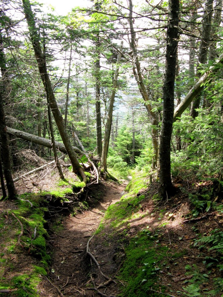
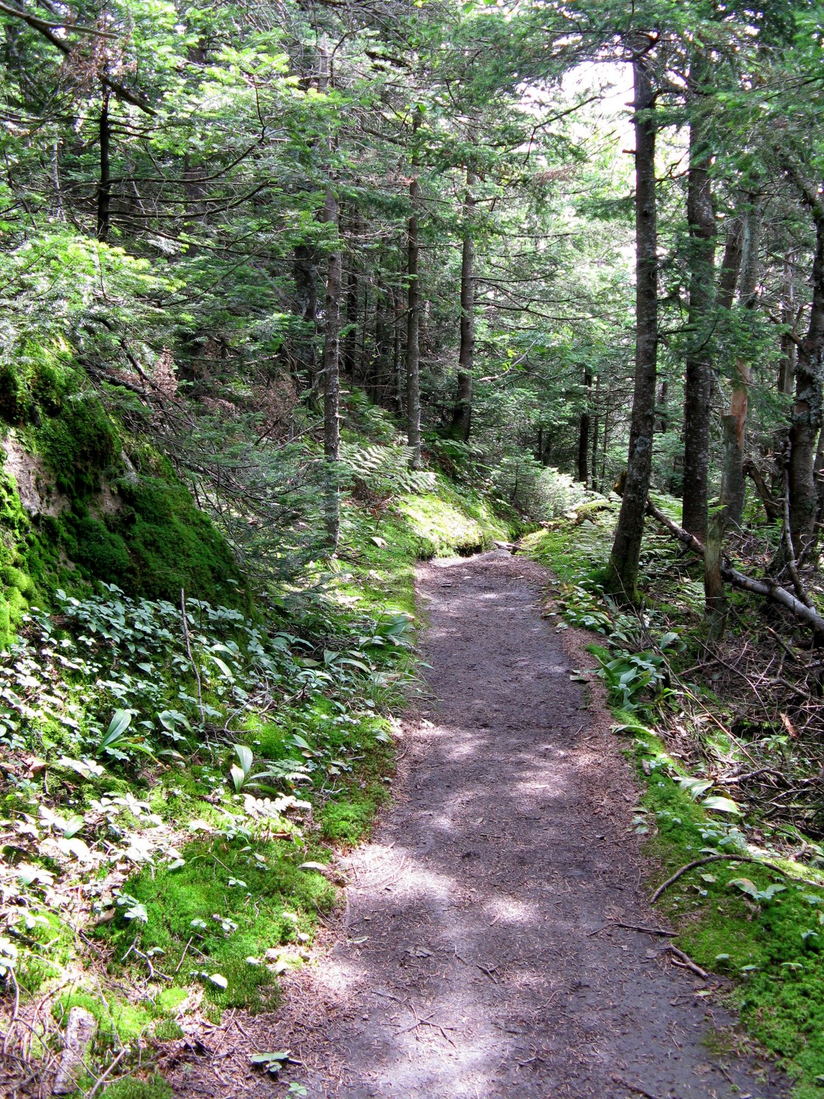
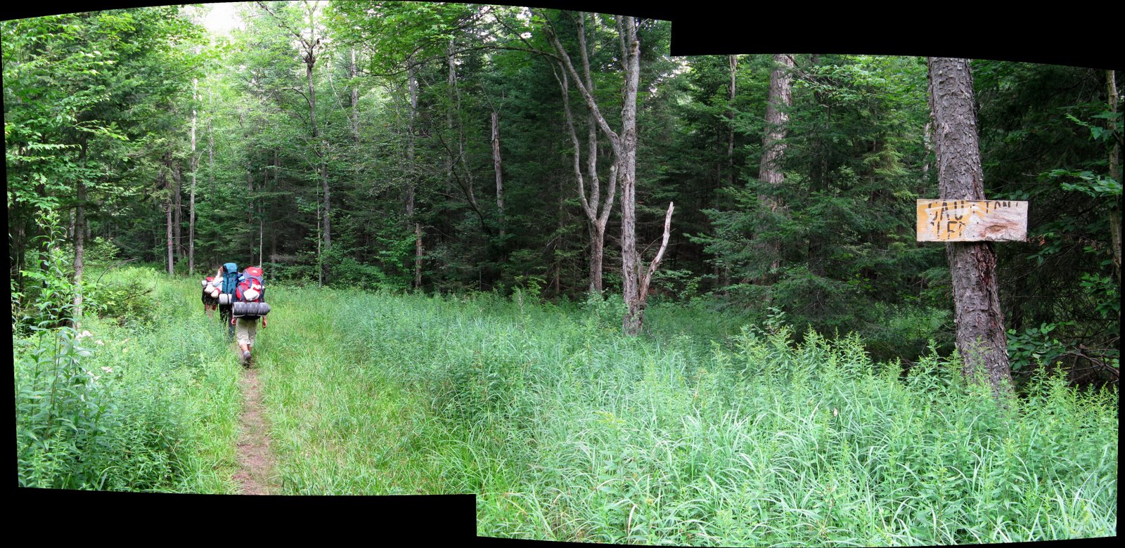
Smooth Trail 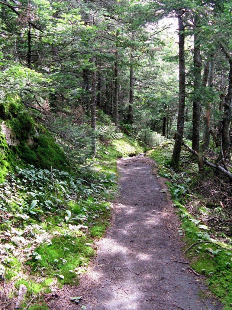
Smooth Trail 
Climbing 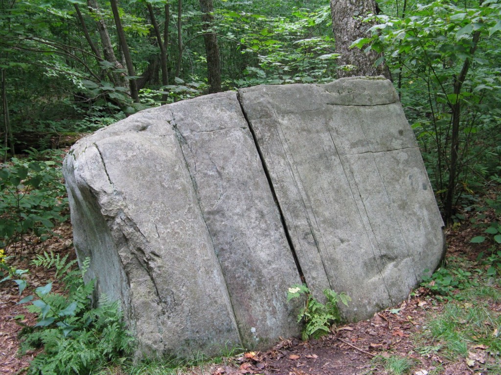
Block Rock 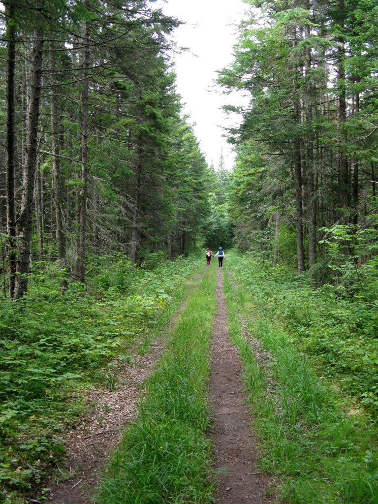
Forest Road 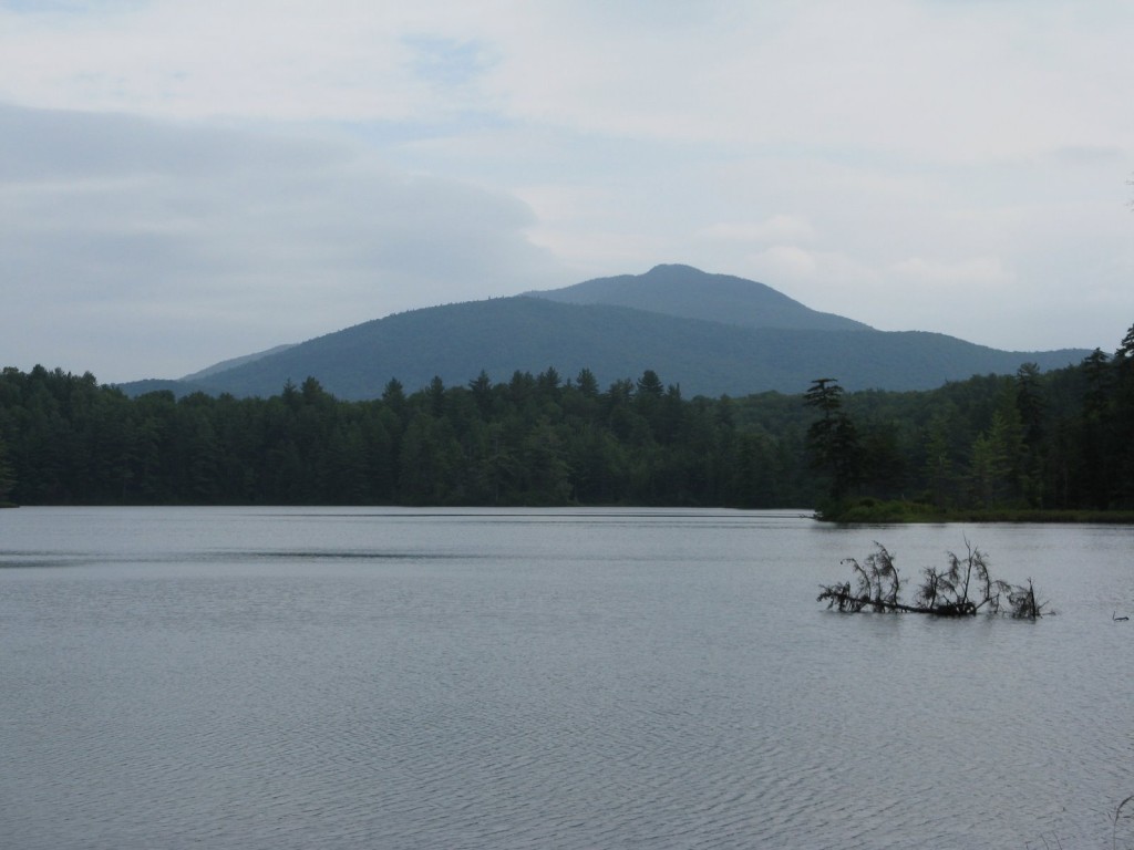
Debar Mtn. 3317 ft 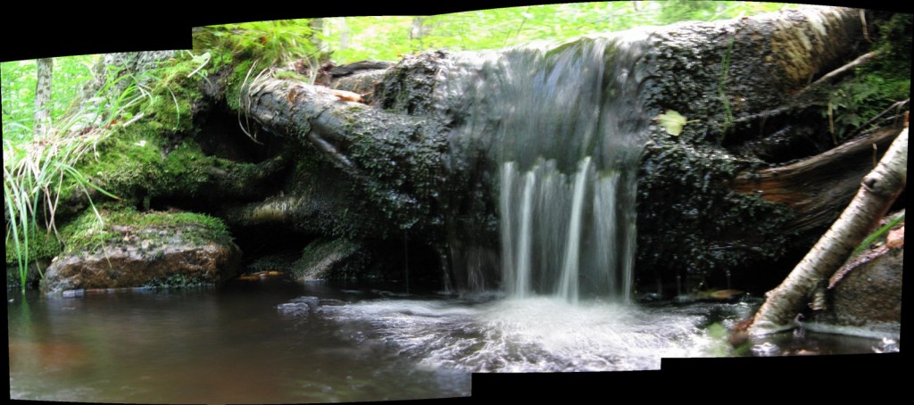
Teeny Tiny Waterfall 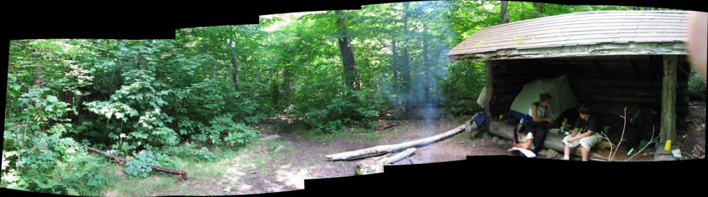
Camping 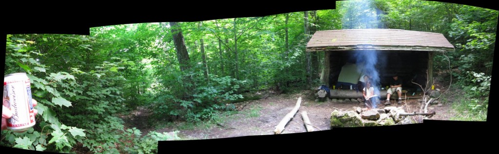
Relaxing at the Lean-to 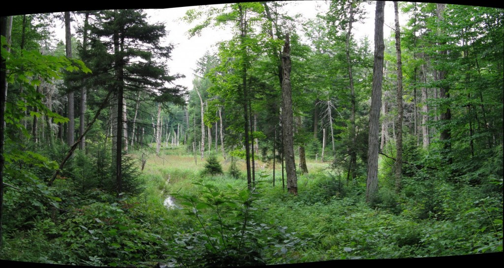
Open Spot in the Forest 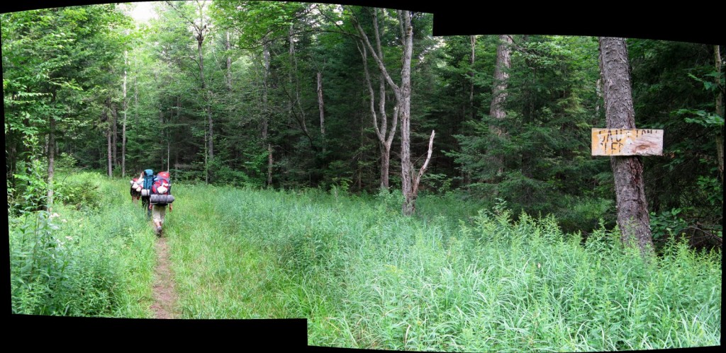
Hiking Out 
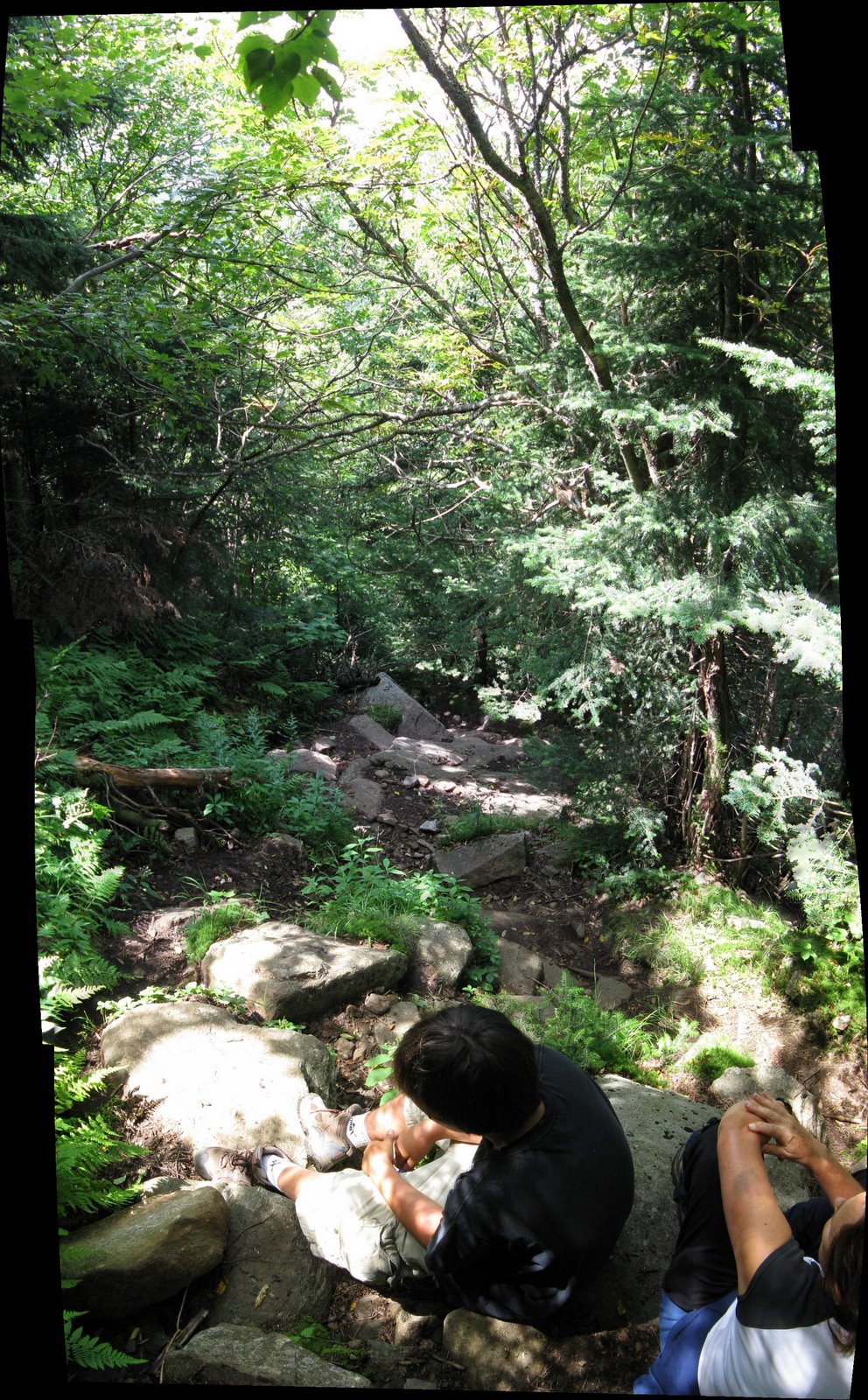
Resting on the Climb 
Relaxing at the Top of Debar Mtn. 
Meacham Lake from Debar Mtn. 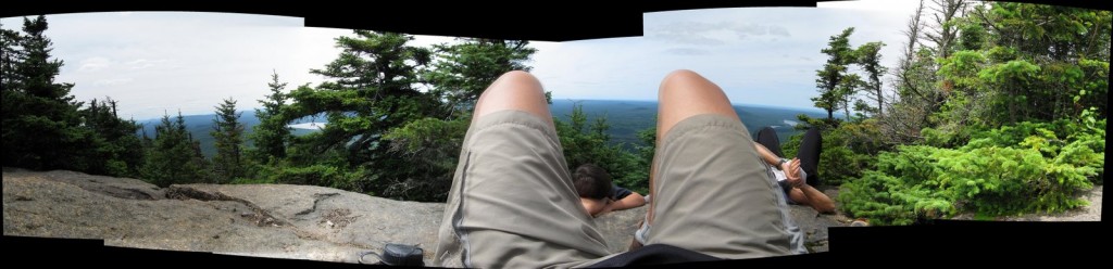
Relaxing at the Top of Debar Mtn. 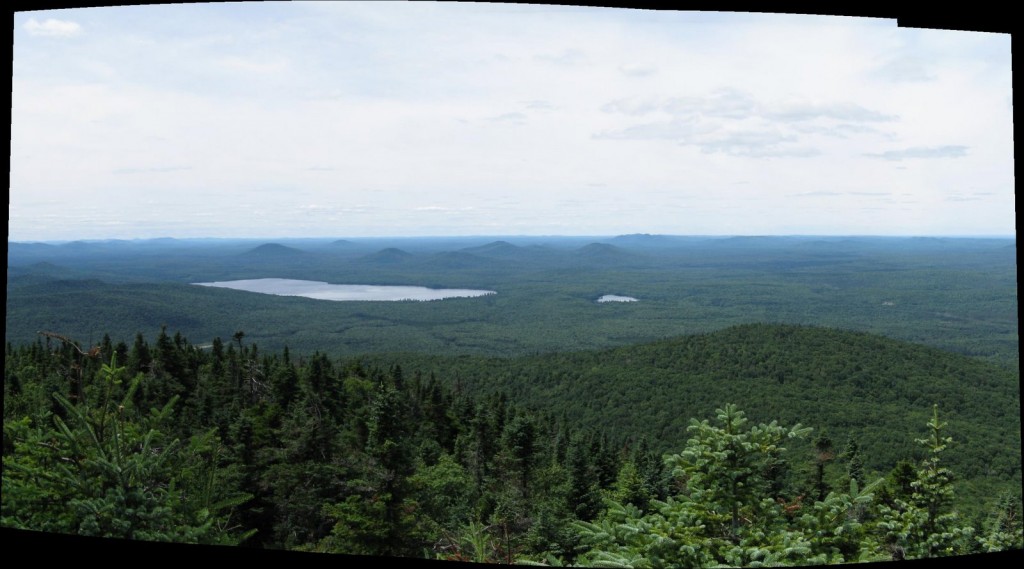
Meacham Lake from Debar Mtn. 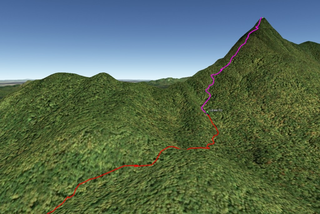
Debar Mt Trail 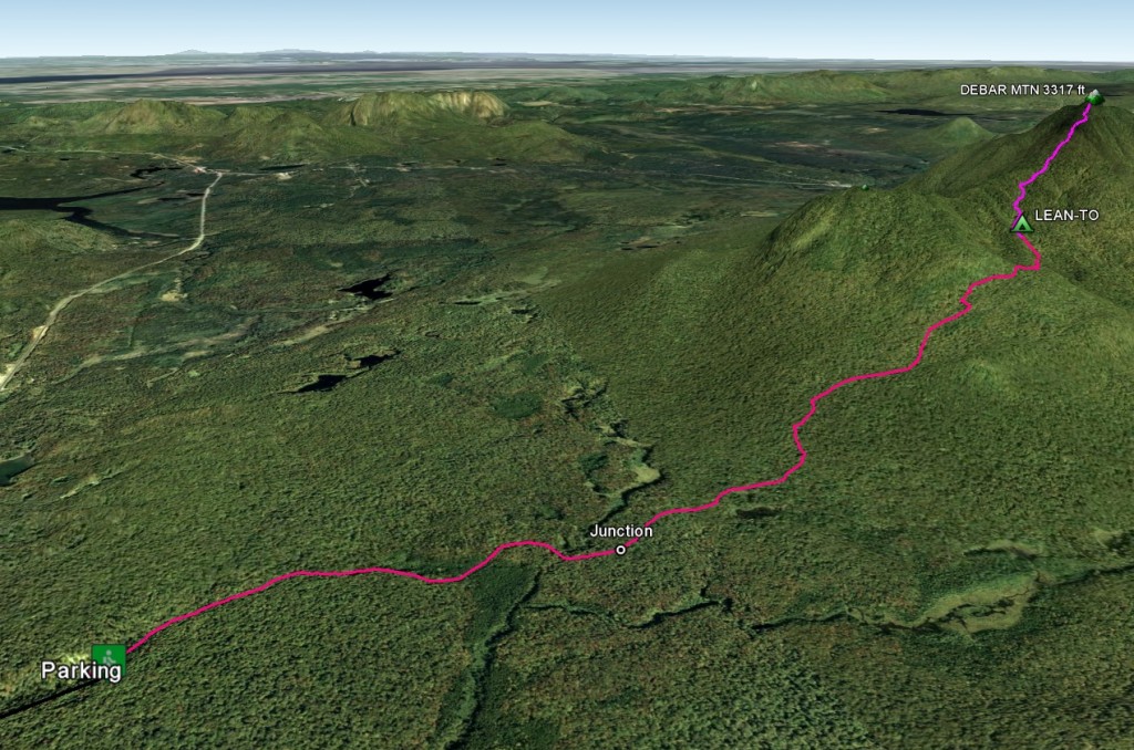
Debar Mt Trail


More Info:


Love the photos of Mt. Debar. On the embedded Google Map, how did you enable the custom icons? That is pretty handy.
That looks like a great trip. It is making me hungry for my upcoming vacation time.
@GPS My geo-workflow:
@jodycb
This is actually pretty limited – trail is really up and down – not much else along the way. However, if you are camping at Meacham Lake (nice), it is a very convenient climb. Plus, there is OK mountain biking there too.
Climbing is one thing that i had always wanted to experience but can not. I am amazed seeing people who experience such marvel. Your photos are great- i am a nature lover myself. I love it.
Good shots. I like the composition on the Forest Road shot, the perspective of the ruts fading tinto the distance and the red and blue backpacks drawing in the viewer’s eye. Also, the first Climbing shot, the rocky trail and the backlighting. Nice contrast between the softly lit green leaves above and the rugged dark rocks below.
I’m assuming the shots with the jagged black borders are composite shots stitched together in a photo-editing program. Which program?
Luke
@Luke
Thanks for the photo-reviews!
I use Autostitch most of the time, but also PTGui. I get better quality w/ PTGui, but Autostitch works better in stitching difficult originals.
great looking shots, gee that made me miss the good old days.. not a stranger to mountain climbing myself, used to do it every summer with friends and relatives, but i guess i got too old for these things.. i don’t trust my back to withstand carrying heavy equipment without hurting.. the longest ‘expedition’ we had was around seven or nine days, the summit at around eleven thousand feet, boy my hands are sweating as i’m writing this… gah! enough about that.. i’m sure you guys had a blast and keep doing it while you can!
I am looking at climbing debar Mtn tomorrow WITH MY DOG. Is this reasonable? he is a 65lb lab in great shape. Not sure if the summit is too steep for him. Any help woudl be appreciated.
Tks,
-d
@danny
The last part is quite steep, with a few semi-technical rock sections. No way to know except to try. Let us know how you make out.
Oh man, does this bring back memories. I climbed Debar in the summer of 1982 with a college buddy, and have some beautiful photos as reminders of the summit. Never before had I sat in total silence through an entire sunset and into deep night, with no sign of human presence visible anywhere… *sigh* I want to go back!
Interesting in purchasing trailhead pic (first pic). Please contact. Thanks!