Back in February, I mentioned the land deal that formed the newest Adirondack recreation area, the Sable Highlands Working Forest. This was exciting since I consider the area involved my backyard. Most people are familiar with Lyon Mountain and adding this great hike to the list of “Forever Wild” is just fantastic. What intrigued me the most was the opening up of other new areas for recreational use.
The part in the news article that caught my attention was this:
Through the stand of red pines, you come to the ledge that opens onto the nearly 180-degree vista of the Sable Highlands, stretching wide across the horizon and up into pale clouds.
Dark evergreens and brown hardwoods cover the rolling landscape on a bed of mid January snow. The southern flank of 3,820-foot Lyon Mountain stands at the center of the panorama — one that few people have seen.
…staff members recently cut the trail to the ledge, and they expect it to eventually bring more snowshoers, skiers and hikers.
… sees families coming to picnic, noting it’s a relatively easy hike about 1.5 miles up from the road and a probable new parking area.
Barnes Pond sits halfway in between, a likely spot for swimming, canoeing and a few scattered campsites.
“It feels like a backcountry wilderness primitive campsite,” Carr said, standing by the pond, about 40 to 50 open acres covered in snow and ice and ringed with slender birches and other trees.
I’ve probably looked down on this very spot from the top of Lyon Mt. many times. Very cool description, not much to go on, but shouldn’t be too hard to find. Right?
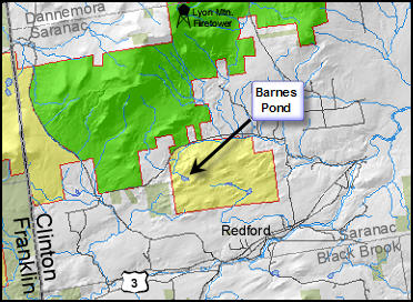
Last Friday was a good opportunity to visit this interesting sounding place. For local flavor and a good guide the kids and I recruited “JT” who is a native of the Town of Saranac. We talked about this place for months now, did some asking around, etc. The prospect of visiting Barnes Pond dredged up stories told to him as a child of an abandoned and decaying Boy Scouts Camp located there. Anyone know anything about that? We’d been talking about checking this out and it turned out JT’s dentist (who comes highly recommended) lives adjacent to this very parcel.
After fueling up on Zuke’s Subs, we headed up the True Brook Rd towards where we thought the trail might start. According to the article, the trail to the ledge was cut recently. We also heard that it was merely blazed. Uh huh. We parked just past a farm where an overgrown path came out of the woods. According to GPS and map, this was the only apparent trail in the vicinity and was near where JT’s dentist said it might be. Alrighty then.
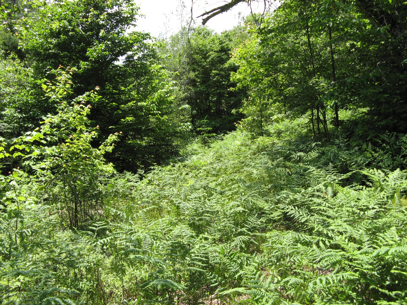
If you have never gone off-trail in the Adirondacks, then you likely have never heard of the term “bushwacking”. This is what we actually prepared for, and what we warned the kids about. This old trail seemed to have been used for ATVing sometime fairly recently so the going was pretty easy. What I mean is that at some time in the past this was actually a road, probabaly. Well what do you know, we arrived at an overgrown clearing to find an abandoned hunting cabin in a somewhat advanced state of decay. A brief look revealed nothing of note. A further application of Bug Dope was necessary as the Deer Flies were thriving.
Trail/Road/Less Overgrown “Way”
The overgrown road, which we were calling a trail, became less tempting as it seemed to be heading us in the wrong direction. We were likely right and wrong. Right in that the quickest way to what we assumed was the overlook was straight up the ridge in front of us (bushwack). Wrong because I think this is the remanant of an old trail that can be seen on the 1913 topo map of the area. We headed uphill. Elevation was gained rapidly and complaints about the flies became sporadic.
Overlook – Large Panorama
I have to admit, I’ll be the first to preach about map and compass. Realistically, when your in the middle of a serious Adirondack bushwack, surrounded by full-growth, deer flies, and on a steep slope, taking compass bearings is not the most efficient or reliable means of finding where you want to go. Using a GPS unit is like being guided by the hand of [insert diety of choice]. The overlook was just as described. What a fantastic view! But where is Barnes Pond?
(Is this Google Map just sweet, or what?)

Barnes Pond – Large Picture
We arrived right at the outlet that turned out to be a very fortuitously placed beaver dam. This whole pond seems to be the result of what appears to be a very old beaver dam. It’s so built up there that the outlet actually has a small waterfall. We easily crossed the dam to a rock clearing on the shore. Huh, what do you know, a trail. A trail going in sort of the direction you want is far superior to actually going the way you want if it means bushwacking.
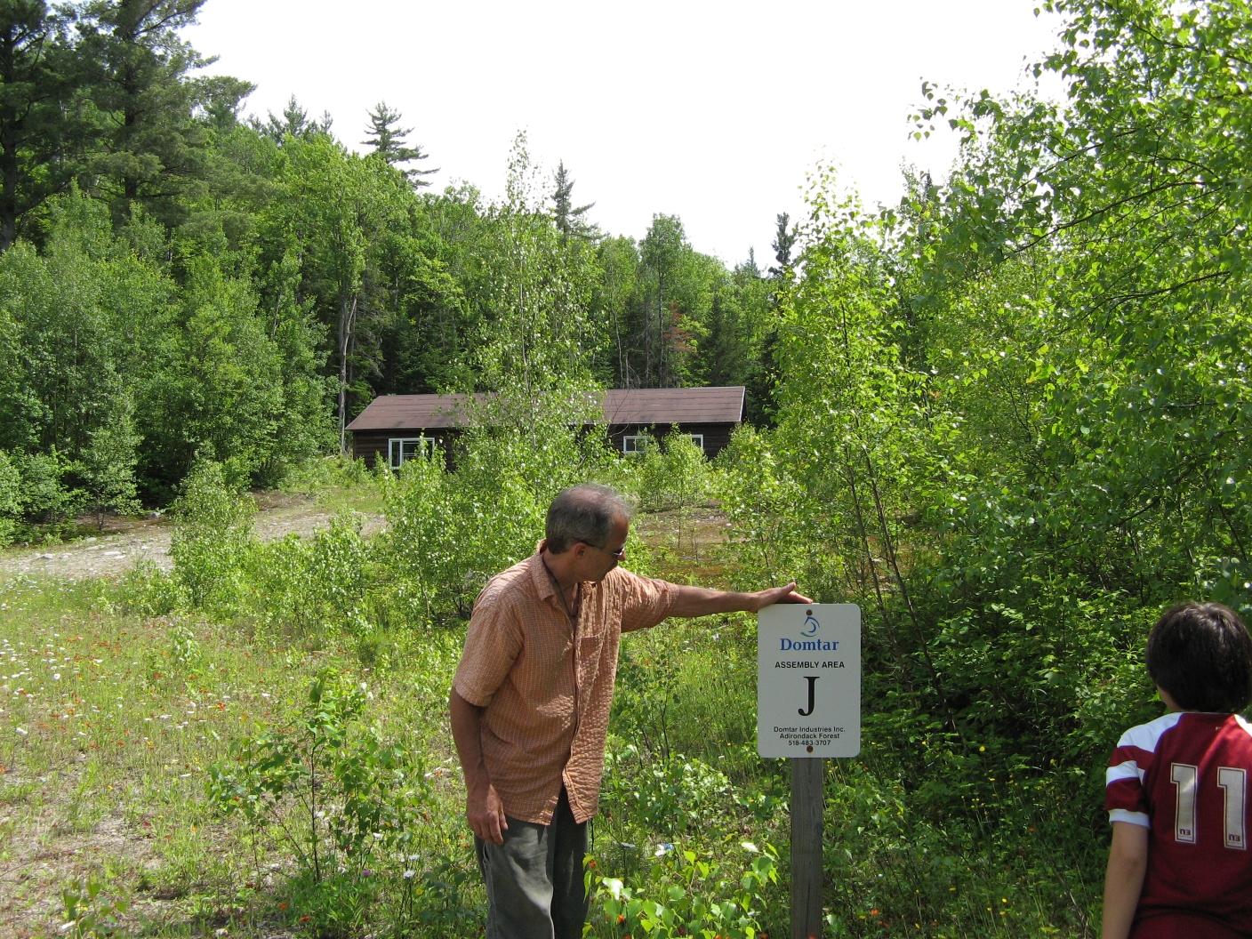
JT examines the signage
Compared to the first half of the hike, the second was a stroll in the woods. This was clearly a trail, some of the water crossings had some construction to allow the crossing of ATV’s. None of this was recently repaired or used. We encountered some blowdown that were recently cut. Best guess, this would be the official trail. Eventually this trail ended behind a building. Good condition, locked up, but the inside was in a state of disrepair. Loads of wild strawberries lined the road leading up to this building. We passed a gate where a sign indicated – Assembly Area “J” and a Domtar phone number. Shortly this road emerged about a mile east from where we started on True Brook Rd. It was posted, but we still think this has to be the eventual official trail.





If and when you take the hike, I’d highly recommend that you bring a gps, and/or a compass, Bug dope, munchies, and binoculars are a good idea too. Ohh, and don’t forget a fishing pole and something to cook up the fish. Happy trails to you!