Entries Tagged as 'forest preserve'
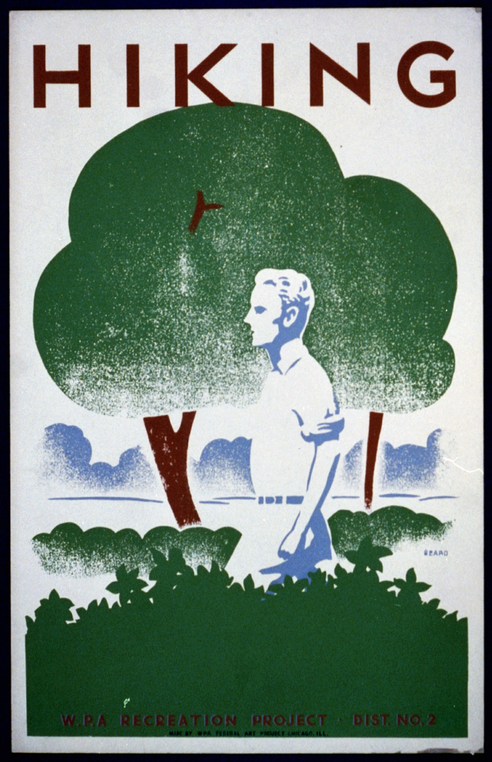
Leave No Trace in the Adirondack Forest Preserve
May 23rd, 2017 · No Comments · Adirondack Life
Tags: camp·climb·conservation·forest preserve·hike·paddle·ski
Status of Seasonal Access Roads in the Adirondacks
June 4th, 2015 · No Comments · Adirondack News
As of June 3, 2015:
See the Adirondack Trail Information web pages for more information.
Blue Mountain Lake Wild Forest/Township 19 Conservation Easement
- O’Neill Flow Road is open to motor vehicles to the gate at Barker Pond Road.
- Barker Pond Road is be open to motor vehicles to the Barker Pond parking lot.
Moose River Plains
- Moose River Plains (Limekiln Lake-Cedar River) Road is open to motor vehicles its whole length from the Limekiln Lake gate near Inlet to the Cedar River Gate near Indian Lake.
- Otter Brook Road is open to motor vehicles to the Squaw Lake barrier.
- Rock Dam Road remains closed.
Perkins Clearing/Speculator Tree Farm
- All roads designated for public motor vehicle traffic on the Perkins Clearing and Speculator Tree Farm Conservation Easements are open.
- The section of Jessup River Road, in the Perkins Clearing Conservation Easement, leading to the Spruce Lake Trailhead is soft and should only be traveled by four-wheel drive trucks, SUVs and other high axle vehicles.
Essex Chain Lakes Complex
- The Shadow Dam Gate and the Cornell/Deer Pond Road will be closed for 1-2 weeks beginning Monday, June 8 to allow for replacement of one of the bridges on the road which is in poor condition.
- Chain Lakes Road South is open for motor vehicle access to the Old Gooley Club Parking Area.
- Chain Lakes Road North and Drakes Mill Road are open to allow for public motor vehicle access to the Hudson River/Polaris Bridge Parking Area.
Lake George Wild Forest
- Gay Pond Road in the Hudson River Recreation Area is open to motor vehicles but is rough.
- Buttermilk Road Extension in the Hudson River Recreation Area is closed to all motor vehicles.
- Lily Pond Road off State Route 8 south of Brant Lake is open to motor vehicles.
- Jabe Pond Road off Split Rock Road and State Route 9N west of Lake George is open to motor vehicles.
- Dacy Clearing Road is open to motor vehicles from the Hogtown Parking Lot to Dacy Clearing, it may be rough in spots.
Reminder: Seasonal access roads are rough, dirt or gravel roads. Four wheel drive trucks, SUVs and other high axle vehicles are recommended.
Tags: conservation·dec·forest preserve·transportation·weather
DEC Submits Proposal to Amend Jay Mountain Wilderness Unit Management Plan
April 3rd, 2014 · No Comments · Adirondack News
Action to Ensure the UMP is Consistent with Voter-approved Constitutional Amendment That Allows NYCO to Conduct Exploratory Sampling
 The New York State Department of Environmental Conservation (DEC) today submitted a proposed amendment to the 2010 Jay Mountain Wilderness Unit Management Plan (UMP) to the Adirondack Park Agency (APA) to ensure the UMP is consistent with the constitutional amendment approved by voters in November 2013 that permits exploratory sampling on the state-owned parcel in the Town of Lewis, Essex County, DEC Commissioner Joe Martens announced.
The constitutional amendment authorizes NYCO Materials, Inc. to conduct sampling on the 200-acre parcel, known as Lot 8, to determine the quantity and quality of wollastonite on the site, which is adjacent to the company’s long-standing mine. The exploratory sampling will also provide information that DEC will use to accurately appraise the value of Lot 8 for a potential land exchange if NYCO decides to expand its mining operations.
“This is an important step in the process to evaluate the site for a potential land exchange between the State and NYCO that would expand public access and recreation opportunities in the Adirondacks, while also supporting the regional economy,” Commissioner Martens said.
The current Jay Mountain Wilderness Area includes Lot 8, which is part of the State Forest Preserve and is governed by Article XIV, Section 1 of the State Constitution (Article XIV). The property is also subject to the provisions of the Adirondack Park State Land Master Plan (APSLMP) as outlined in the 2010 Unit Management Plan for the Jay Mountain Wilderness area.
The amendment is intended to:
recognize that a constitutional amendment approved by the voters on November 5, 2013 implicitly repeals APSLMP guidelines for Wilderness that otherwise would prohibit NYCO’s mineral sampling operations within the Jay Mountain Wilderness area;
make the UMP consistent with the constitutional amendment; and
note that detailed terms and conditions governing the mineral sampling operations will be set forth in a Temporary Revocable Permit (TRP) issued by DEC.
If Lot 8 is ultimately conveyed to NYCO, an amendment to the APSLMP’s area description of the Jay Mountain Wilderness Area will recognize that Lot 8 will no longer be contained in the Wilderness Area.
The Constitutional amendment approved by statewide voters revised restrictions related to Lot 8 to allow NYCO to conduct mineral sampling to determine the quantity and quality of wollastonite on approximately 200 acres of Forest Preserve lands. Data and information from this the drilling sampling will be provided to the State so that a land appraisal can be made.
During this first phase to implement the constitutional amendment, Lot 8 will remain part of the State Forest Preserve, subject to Article XIV. However, for the limited purpose of the sampling operations, the amendment suspends Article XIV directives that Forest Preserve lands must be “forever kept as wild forest lands” and that timber situated on the lands will not be “removed, sold or destroyed.” This will allow for the creation of corridors and areas required for transportation of equipment, development of drill pads and the use of mechanized mineral sampling equipment. The second phase, conveyance of Lot 8 to NYCO, will occur after the State has appraised the value of Lot 8.
If NYCO decides not to expand its existing wollastonite mine onto adjacent Lot 8, then the company is required to compensate the State for the disturbance resulting from the mineral sampling operations. NYCO will be required to convey to the state an amount of land no less than the acreage and value of the portions of Lot 8 disturbed by the sampling operations. These parcels, to be added to the Forest Preserve, would be subject to approval by the State Legislature.
If NYCO opts to expand its mine onto Lot 8, the company must convey to the state other lands that are equal to or greater than the acreage and assessed land value of Lot 8, and the total assessed value must be at least $1 million. The lands to be conveyed also would require State Legislature approval.
In addition, when NYCO terminates all mining operations on Lot 8, the company will be required to reclaim the site and convey title to these lands back to the state for inclusion in the Forest Preserve.
Lot 8 was assessed by the New York Natural Heritage Program in July 2013 and inventoried by DEC staff in early 2014. These site visits helped to determine if any significant natural communities or unique forest traits are present and to obtain a general assessment of the existing forest stand relative to surrounding forest areas. The assessment did not identify any unusual or unique resources on the site, especially in the context of surrounding state lands.
Tags: conservation·dec·economic development·essex county·forest preserve